Hydrogeology & Borehole Drilling
AWSE explores, sites and develops groundwater sources — from first survey to a tested, production-ready borehole. Combining hydrogeology, geophysics and drilling, we help institutional clients and international consortia secure reliable water supplies where surface water is scarce or costly to treat.
Why it matters
Groundwater is often the most economical and resilient source for towns and rural communities. An evidence-led siting process reduces dry boreholes, protects yield and de-risks investment on donor-financed programmes.
Our approach
A staged, evidence-led sequence — from desk study to a tested, equipped well.
Desk study & feasibility
Review of existing data and hydrogeological context, including recharge and discharge dynamics.
Geomorphological & hydrogeological survey
Field reconnaissance of topography, streams, ponds, valleys, springs and outcrops to map groundwater potential — recharge on higher ground, discharge in valleys and low-lying areas.
Profile selection
Traverse and profile lines set relative to site features and geomorphology.
Geophysical investigation
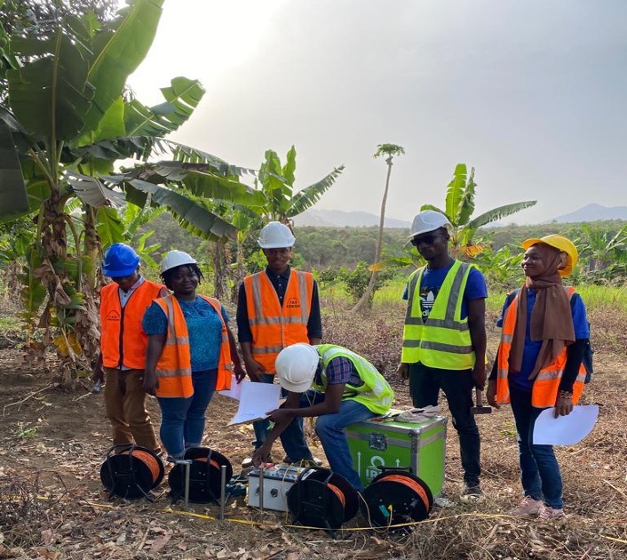
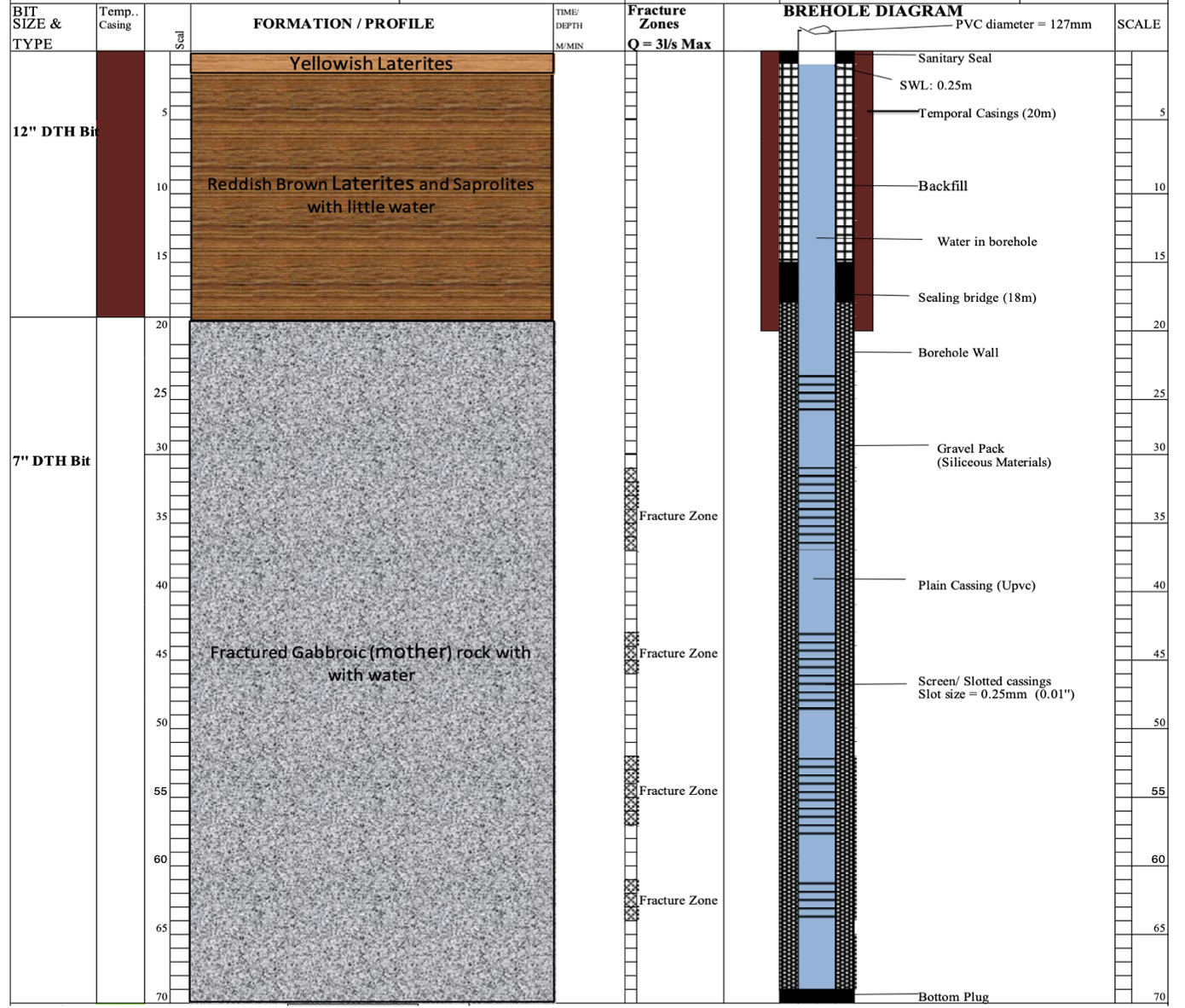
Electrical Resistivity and Vertical Electrical Sounding (VES) in Schlumberger configuration to determine formation resistivities, depth to bedrock, thickness of weathered layers (laterites, saprolites) and deeper aquifers in bedrock fractures.
Borehole siting
Best drilling points selected from feasibility findings and geophysical interpretation.
Drilling
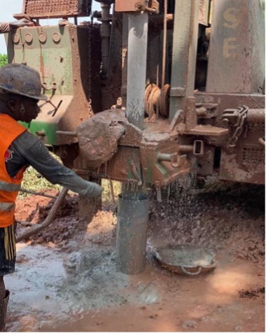
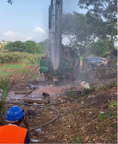
Down-The-Hole (DTH) drilling to target depth, with compressed-air removal of cuttings.
Development & sampling
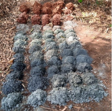
Borehole development and production or formation sampling to characterise the aquifer.
Pumping & water-quality tests
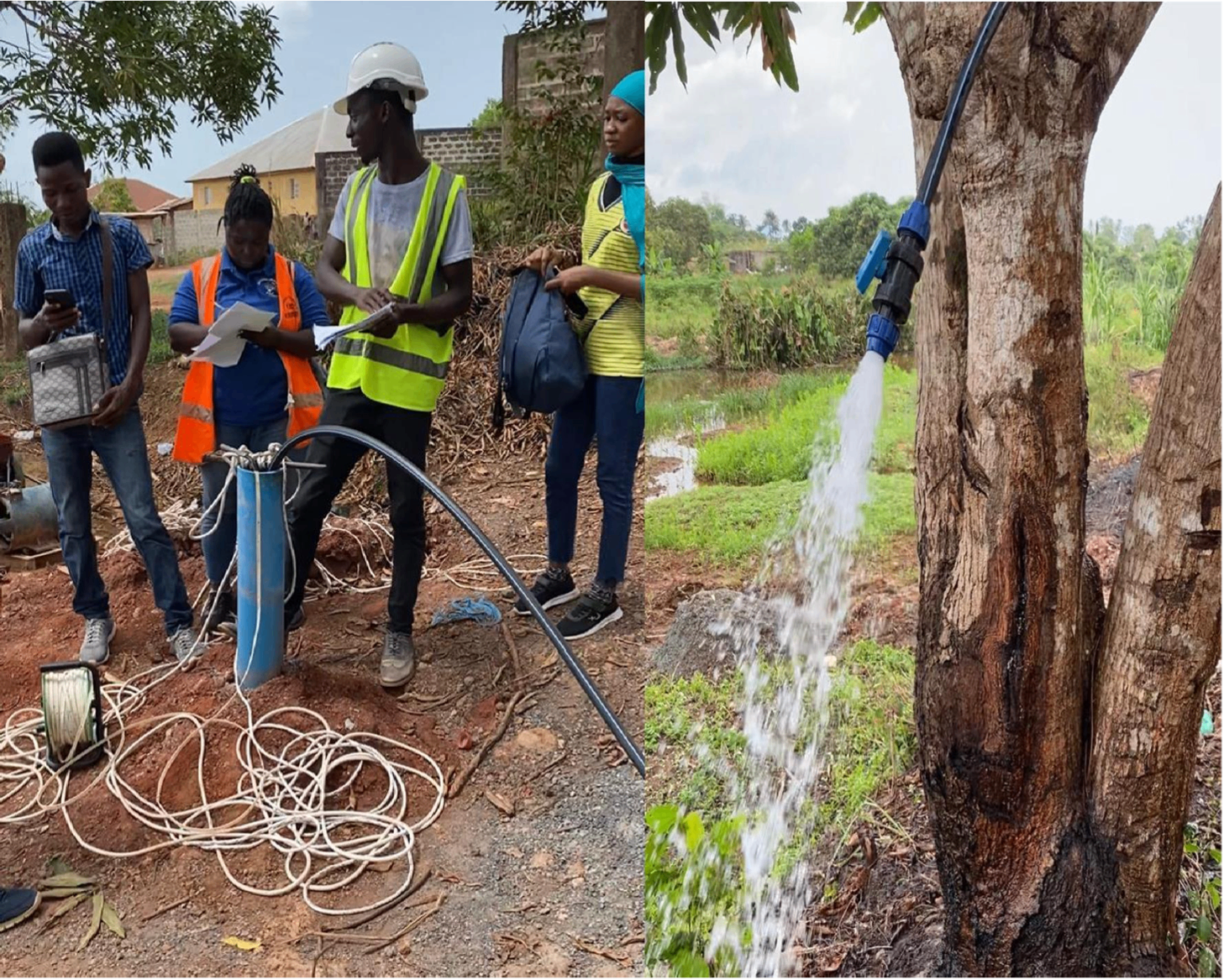
Step and constant-rate pumping tests to establish safe yield and aquifer characteristics; laboratory water-quality analysis.
Equipping & monitoring
Equipping wells for production, including solar-powered pumping, and baseflow or monitoring instrumentation where required.
Field capabilities
A representative view of AWSE hydrogeology and drilling operations.
Methods & equipment
- Vertical Electrical Sounding (VES)
- Schlumberger array
- Resistivity profiling
- Down-The-Hole (DTH) drilling
- Air-lift development
- Step & constant-rate pumping tests
- Water-quality analysis
- Groundwater modelling
- Safe-yield & aquifer characterisation
Deliverables
- Geophysical survey and interpretation report
- Borehole siting recommendations
- Borehole logs
- Pumping-test analysis and safe yield
- Aquifer characterisation
- Water-quality results
- As-built and equipping specifications
Sierra Leone references
Guma Valley — Freetown Water Supply & Sanitation Priority Investments (PIP)
Guma Valley Water Company
Guma Valley — Hydrogeological investigations, consolidated feasibility & IFC-standard ESIA
Guma Valley Water Company
Discuss a groundwater programme
From feasibility to a tested, equipped well — talk to our hydrogeology team.